Aerial Photos for Land Listings: How to Stand Out in Alaska
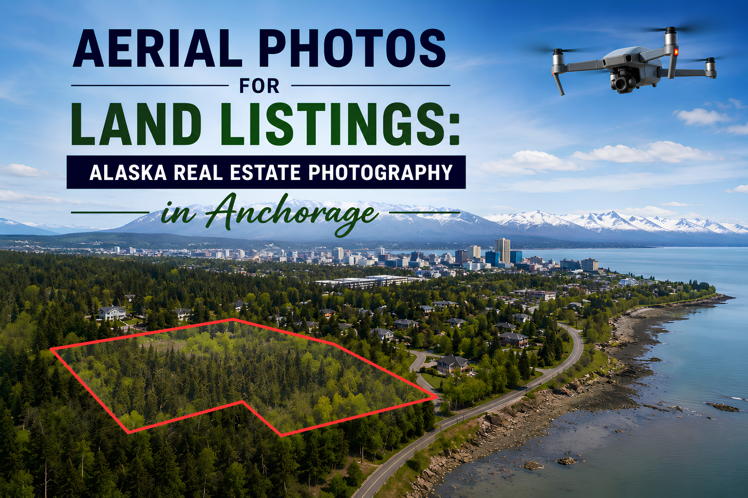
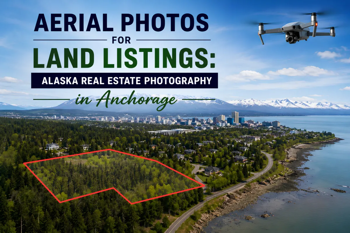
Aerial photos help Alaska land listings stand out by showing scale, terrain, access roads, nearby landmarks, and outdoor features that ground-level photos often miss. In competitive markets like Anchorage, Wasilla, and Fairbanks, drone photography gives buyers a cinematic “map-meets-mountain-range” perspective that builds trust before they ever schedule a showing.
In Alaska’s real estate market, land is rarely just land. Buyers want to see tree lines, mountain views, lake access, snow conditions, neighboring lots, and how a property fits into the surrounding landscape. That is why aerial photography has become one of the most effective tools for real estate agents during spring and summer listing season. At DMD Real Estate Photography, we help agents across Anchorage and surrounding communities create listings that feel expansive, informative, and visually unforgettable. From Eagle River to Palmer and the Mat-Su Valley, professional drone photography gives potential buyers the kind of context that standard listing photos simply cannot capture.
Why Are Aerial Photos So Important for Alaska Land Listings?
Alaska properties often come with features that deserve a wider lens. Large acreage, mountain backdrops, wooded boundaries, and waterfront access can disappear in traditional photography. Aerial images solve that problem by presenting the full story of the property in a single frame.
For real estate agents in Anchorage and nearby communities like Girdwood or Wasilla, drone photography creates immediate visual impact on the Alaska MLS and social media platforms. Buyers scrolling through dozens of listings naturally pause when they see dramatic overhead imagery that highlights road access, lot dimensions, elevation, and surrounding scenery. Aerial photos also help out-of-state buyers understand the layout of rural or remote properties before traveling.
Seasonal conditions matter in Alaska, too. During spring thaw and peak summer daylight, aerial photography can showcase green landscapes, river systems, and nearby recreational areas in ways that feel almost cinematic. Winter drone photos can also highlight snow-covered access routes, cabin surroundings, and mountain visibility for buyers interested in year-round properties.
At DMD Real Estate Photography, we use professional drone equipment to capture high-resolution images and video tailored specifically for Alaska real estate marketing. The result is a listing presentation that feels less like a brochure and more like a guided flight over the property.
How Can Drone Photography Help Sell Alaska Homes and Land Faster?
Professional aerial photography helps buyers emotionally connect with a property before they ever arrive onsite. That emotional connection is powerful in Alaska, where lifestyle often drives purchasing decisions as much as square footage or acreage.
Drone photography can help listings perform better by:
Highlighting nearby lakes, trails, forests, and mountain views
Showing driveway access and road proximity
Demonstrating lot boundaries and usable land
Revealing outdoor features hidden from ground-level shots
Creating eye-catching listing thumbnails for the Alaska MLS
In areas like Eagle River and Palmer, where buyers often prioritize outdoor living, aerial imagery can showcase decks, detached garages, nearby trails, and open land in a single sweeping composition. For rural listings near Fairbanks or Soldotna, drone footage also provides important geographic context that helps buyers understand distances and accessibility.
Some recent DMD aerial photography projects include:
39290 Erlwein Rd, Soldotna, AK, 99669
1510 Elcadore Dr, #136, Anchorage, AK, 99507
415 N Bragaw St, Anchorage, AK, 99508
These projects demonstrate how aerial visuals can transform ordinary listing presentations into compelling marketing assets. In a market filled with static photos, drone imagery acts like a visual flare fired into the Alaska sky 🌲🚁
What Makes Professional Real Estate Photography Different?
Professional real estate photography combines technical skill, lighting control, composition, editing, and property marketing strategy. It is not simply about owning a good camera or flying a drone. The goal is to create images that help buyers imagine themselves living on the property.
At DMD Real Estate Photography, every shoot is planned around property strengths and seasonal conditions. In Anchorage, weather and daylight can change rapidly, so timing matters. Golden-hour lighting over Chugach Mountain views creates a completely different emotional response than flat midday lighting.
Professional drone photography also involves understanding FAA flight guidelines, safe operating conditions, and proper framing techniques for real estate marketing. Wide aerial shots are balanced with detail-focused imagery to create a complete listing package.
For Alaska land listings especially, aerial photography helps answer buyer questions visually before they ask them. Is the property wooded? How close are neighboring homes? Is there direct road access? Are there nearby rivers or recreation areas? Drone imagery gives those answers instantly and elegantly.
Book Your Real Estate Photography Session
If you want your Alaska listing to stand out in Anchorage, Wasilla, Palmer, Fairbanks, or surrounding communities, professional aerial photography can give buyers a stronger first impression before they ever step onto the property. Contact DMD Real Estate Photography to schedule a drone photography session and create listing visuals that rise above the ordinary Alaskan skyline.
